Well Depth Map & Records for Simcoe County
Find typical well depths in your area and look up official Ontario well records for any property.
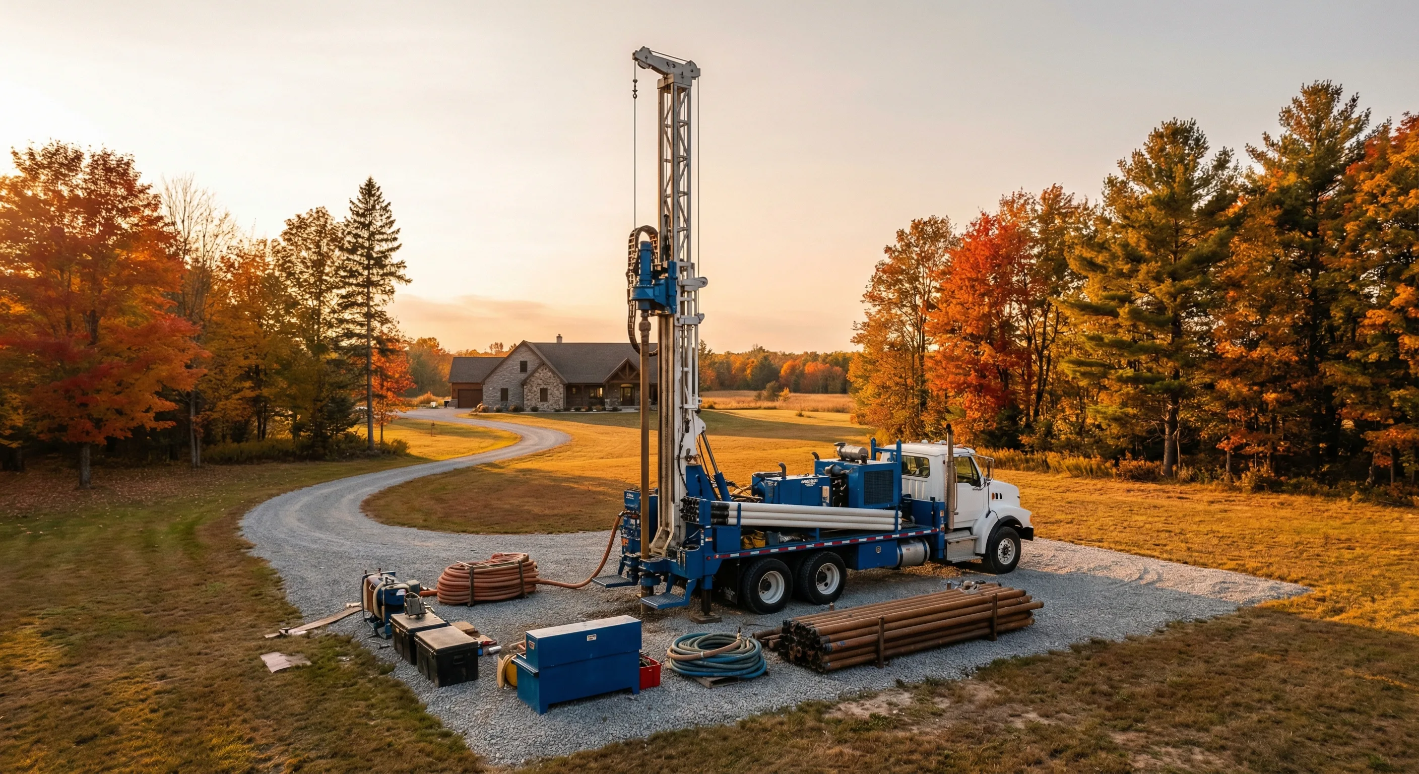
One of the most common questions we hear is: "How deep will my well need to be?" The answer depends on your specific property's geology — the type of soil, the depth to bedrock, and the characteristics of the aquifer beneath your land. After drilling thousands of wells across Simcoe County and Grey County over the past 60+ years, we've built deep knowledge of local conditions that helps us give you a realistic estimate before we ever bring a rig to your property.
Below you'll find typical well depth ranges for each community we serve, along with links to the Ontario government's official well records database where you can look up actual well data for properties near yours.
Ontario Well Records Map
The Ontario Ministry of the Environment, Conservation and Parks (MECP) maintains a public database of every well drilled in the province since 1899. You can use their interactive map to look up well records near any property — including well depth, water level, geology encountered during drilling, and the type of well construction used.
How to Use the Well Records Map
- 1 Visit the Ontario Well Records Map (link below)
- 2 Zoom in to your property location or search by address
- 3 Click on the well markers near your property to view individual records
- 4 Look at the "Depth" and "Water Found" columns to see how deep neighbouring wells were drilled
- 5 Check the "Formation" column to understand the geology at that location
Important Notes
- Well depth can vary significantly between neighbouring properties — even 50 metres apart.
- Older well records may not be as accurate as modern ones. Records from before the 1960s can be incomplete.
- The depths below are typical ranges — your well may be shallower or deeper depending on exact property conditions.
- For a site-specific estimate, contact us — we've drilled in your area and can give you a realistic projection.
Typical Well Depths by Area
Based on our 60+ years of drilling experience across Simcoe County and Grey County. These ranges reflect typical conditions — individual properties may vary.
| Area | Typical Depth | Geology | Method | Notes |
|---|---|---|---|---|
| Wasaga Beach | 40–120 ft | Sandy overburden over limestone bedrock | Rotary or Cable Tool | Thick sand deposits from glacial Lake Algonquin. Depth varies significantly between Beach Areas 1–6 and inland properties. |
| Stayner | 60–150 ft | Transitional sand/clay over bedrock | Rotary | Transition zone between sand plains and clay-till uplands. Some areas hit reliable aquifers in overburden, others require bedrock completion. |
| The Blue Mountains | 30–100 ft | Shallow Niagara Escarpment limestone | Rotary (rock) | Fractured dolostone bedrock often encountered at shallow depth. Yield depends on intercepting fracture zones in the Escarpment. |
| Meaford | 50–150 ft | Mixed glacial deposits over Paleozoic bedrock | Rotary | Variable overburden depth. Eastern portions closer to Georgian Bay may have shallower bedrock. |
| Collingwood | 40–120 ft | Variable overburden over Escarpment limestone | Rotary | Base of Niagara Escarpment. Well depth depends heavily on property elevation and distance from the Escarpment face. |
| Clearview Township | 30–100 ft | Thin overburden, shallow fractured limestone | Rotary (rock) | Bedrock often very close to surface in Creemore, Nottawa, and Singhampton. Stainless steel screens common for gravel formations. |
| Springwater Township | 80–200 ft | Thick clay and glacial till | Rotary | Deep clay deposits in Elmvale and Midhurst can make drilling slower. Proper grouting through clay is critical for well integrity. |
| Barrie | 60–180 ft | Kame moraine — mixed sand, gravel, clay | Rotary | Highly variable glacial deposits. Adjacent properties can have very different well depths. Many areas on municipal water, but rural perimeters still on wells. |
| Midland | 50–130 ft | Moderate overburden over limestone/shale | Rotary | Georgian Bay shoreline area. Bedrock depth varies with proximity to the bay. |
| Penetanguishene | 40–120 ft | Variable bedrock depth, coastal influence | Rotary | Coastal Georgian Bay. Some shallow bedrock areas near the waterfront, deeper overburden inland. |
| Tiny Township | 30–100 ft | Shallow bedrock, Georgian Bay shore | Rotary | Many cottage properties encounter bedrock at shallow depth. Seasonal properties should plan for freeze protection of well lines. |
| Oro-Medonte | 60–160 ft | Oro Moraine — sand and gravel aquifers | Rotary | The Oro Moraine provides good sand and gravel aquifers in many areas. Shanty Bay and Hawkestone areas may differ from Oro Station. |
| Innisfil | 60–180 ft | Variable glacial soils, some artesian zones | Rotary | Near Lake Simcoe. Some properties encounter artesian (flowing) conditions. Alcona and Cookstown can have quite different conditions. |
| New Tecumseth | 80–200 ft | Rolling till plains, moderate bedrock depth | Rotary | Alliston, Beeton, and Tottenham sit on glacial till. Depth to reliable aquifer can vary across the municipality. |
| Essa Township | 50–140 ft | Sand plains and glacial outwash | Rotary or Cable Tool | Sandy deposits near Angus from glacial outwash. Good aquifer potential in many areas, but fine sand can cause pump issues without proper screening. |
| Adjala-Tosorontio | 60–180 ft | Escarpment fringe — variable till and bedrock | Rotary | Transitional area near the Escarpment. Loretto and Everett may encounter bedrock at different depths. |
| Mulmur Township | 40–120 ft | Higher elevation Escarpment, shallow bedrock | Rotary (rock) | Elevated Escarpment terrain near Mansfield and Honeywood. Many wells are completed in bedrock. Seasonal yield reduction possible in dry summers. |
| Melancthon Township | 50–150 ft | High-elevation Escarpment plateau | Rotary | Western edge of our service area. Plateau geology with variable bedrock depth. Corbetton and Riverview areas have distinct conditions. |
Sandy overburden over limestone bedrock — Rotary or Cable Tool
Thick sand deposits from glacial Lake Algonquin. Depth varies significantly between Beach Areas 1–6 and inland properties.
Transitional sand/clay over bedrock — Rotary
Transition zone between sand plains and clay-till uplands. Some areas hit reliable aquifers in overburden, others require bedrock completion.
Shallow Niagara Escarpment limestone — Rotary (rock)
Fractured dolostone bedrock often encountered at shallow depth. Yield depends on intercepting fracture zones in the Escarpment.
Mixed glacial deposits over Paleozoic bedrock — Rotary
Variable overburden depth. Eastern portions closer to Georgian Bay may have shallower bedrock.
Variable overburden over Escarpment limestone — Rotary
Base of Niagara Escarpment. Well depth depends heavily on property elevation and distance from the Escarpment face.
Thin overburden, shallow fractured limestone — Rotary (rock)
Bedrock often very close to surface in Creemore, Nottawa, and Singhampton. Stainless steel screens common for gravel formations.
Thick clay and glacial till — Rotary
Deep clay deposits in Elmvale and Midhurst can make drilling slower. Proper grouting through clay is critical for well integrity.
Kame moraine — mixed sand, gravel, clay — Rotary
Highly variable glacial deposits. Adjacent properties can have very different well depths. Many areas on municipal water, but rural perimeters still on wells.
Moderate overburden over limestone/shale — Rotary
Georgian Bay shoreline area. Bedrock depth varies with proximity to the bay.
Variable bedrock depth, coastal influence — Rotary
Coastal Georgian Bay. Some shallow bedrock areas near the waterfront, deeper overburden inland.
Shallow bedrock, Georgian Bay shore — Rotary
Many cottage properties encounter bedrock at shallow depth. Seasonal properties should plan for freeze protection of well lines.
Oro Moraine — sand and gravel aquifers — Rotary
The Oro Moraine provides good sand and gravel aquifers in many areas. Shanty Bay and Hawkestone areas may differ from Oro Station.
Variable glacial soils, some artesian zones — Rotary
Near Lake Simcoe. Some properties encounter artesian (flowing) conditions. Alcona and Cookstown can have quite different conditions.
Rolling till plains, moderate bedrock depth — Rotary
Alliston, Beeton, and Tottenham sit on glacial till. Depth to reliable aquifer can vary across the municipality.
Sand plains and glacial outwash — Rotary or Cable Tool
Sandy deposits near Angus from glacial outwash. Good aquifer potential in many areas, but fine sand can cause pump issues without proper screening.
Escarpment fringe — variable till and bedrock — Rotary
Transitional area near the Escarpment. Loretto and Everett may encounter bedrock at different depths.
Higher elevation Escarpment, shallow bedrock — Rotary (rock)
Elevated Escarpment terrain near Mansfield and Honeywood. Many wells are completed in bedrock. Seasonal yield reduction possible in dry summers.
High-elevation Escarpment plateau — Rotary
Western edge of our service area. Plateau geology with variable bedrock depth. Corbetton and Riverview areas have distinct conditions.
Want a Site-Specific Estimate?
Well records give you a starting point — but there's no substitute for local drilling experience. Call us and we'll tell you what we've seen on properties near yours.
Understanding Ontario Well Records
Under Ontario Regulation 903, every licensed well contractor is required to submit a well record to the Ministry of the Environment for every well drilled, deepened, or decommissioned in the province. These records have been collected since 1899 and form one of the most comprehensive groundwater databases in Canada.
Each well record includes the property location, the depth of the well, a log of the geological formations encountered during drilling (sand, clay, gravel, bedrock type), the depth at which water was found, the estimated well yield, and details about the well construction — casing depth, screen type, and grouting.
If you're buying a rural property, building a new home, or considering drilling a new well, reviewing well records for nearby properties is one of the best ways to understand what's beneath your land. You can also request the specific well record for your property if one exists — original construction details are invaluable if you're ever troubleshooting yield, water quality, or pump system issues.
Keep in mind that well records are historical documents — they reflect conditions at the time of drilling, which may have been decades ago. Water tables can change, and modern drilling techniques allow us to reach aquifers that older methods couldn't. At Mighton's Well Services, we combine well record research with our 60+ years of hands-on local experience to give you the most accurate assessment possible.
Ready to Drill? We Know Your Area.
With 60+ years of local drilling experience and access to well records across Simcoe County, we can give you a realistic estimate for your property. Licensed Well Contractor #C-8303.